An 8 second selfie at Sierra Nevada Rocks at Point Nepean, Portsea.
I’ll definitely be making a return trip to this awesome structure.


An 8 second selfie at Sierra Nevada Rocks at Point Nepean, Portsea.
I’ll definitely be making a return trip to this awesome structure.
A series of long exposure images from the SS Speke shipwreck at Kitty Miller Bay on Phillip Island.
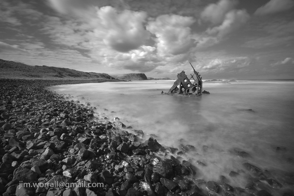


Below – A long exposure from Kitty Miller Bay, Phillip Island.
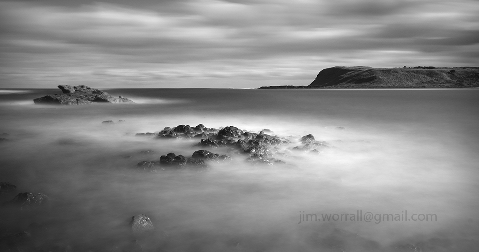
Sunset at Grantville jetty on Western Port Bay.

A couple of long exposure images from St Andrews beach on the Mornington Peninsula.
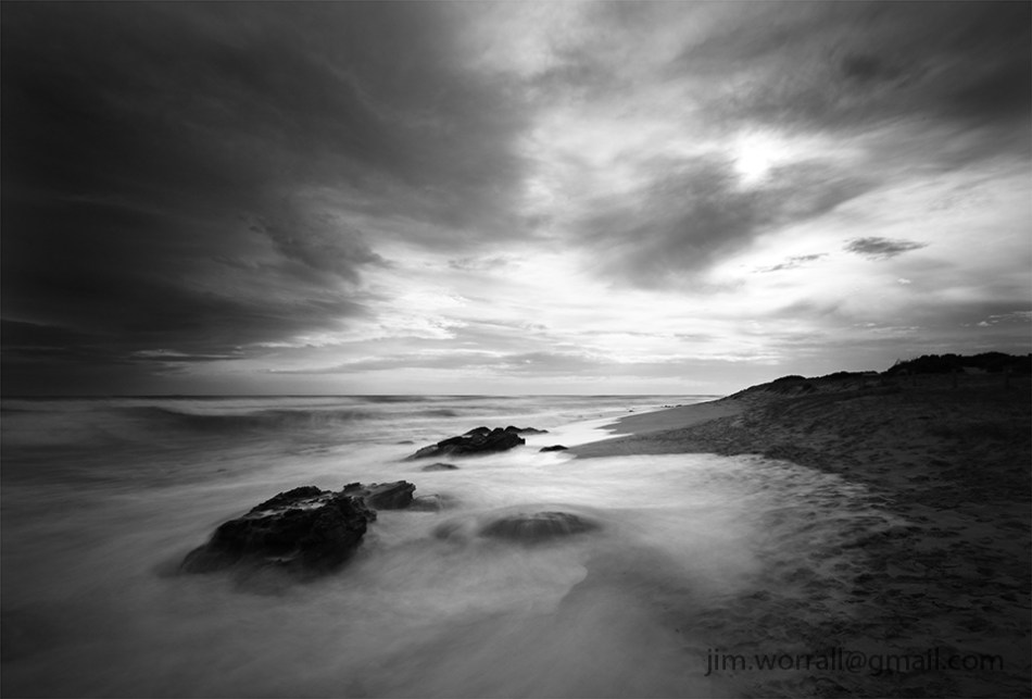

A couple of long exposure shots of rock formations at St Andrews Beach on the Mornington Peninsula.
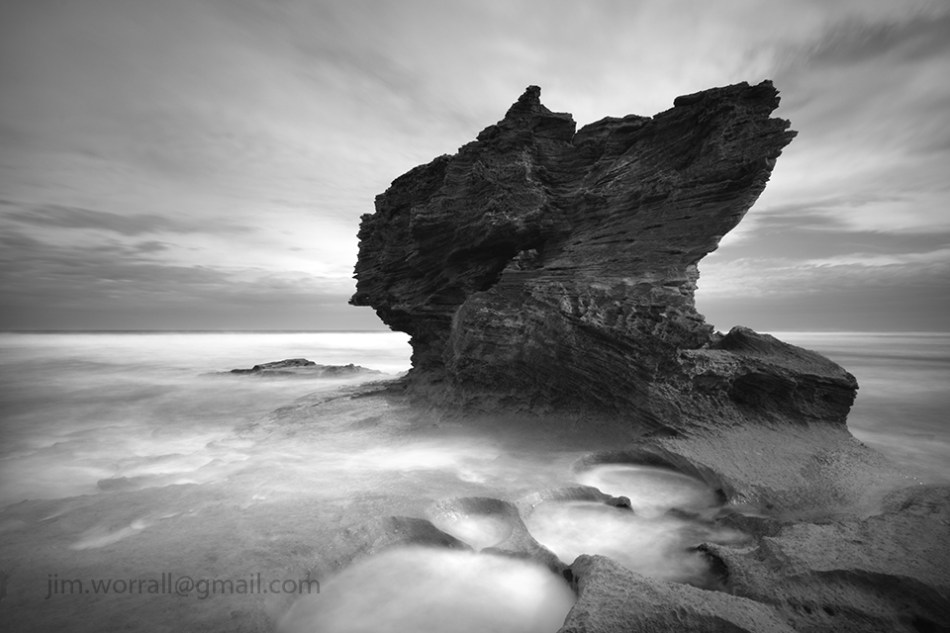

Here’s a bit of selfie fun from St Andrews Beach on a quiet afternoon.

……and here’s the reason why it’s best not to swim, dive or surf here. 🙂

Below are some images from this weekend’s excursion to Fowlers beach in Blairgowrie.
If you’d like to visit Fowlers beach the closest carpark is at the end of St Johns Wood Rd in Blairgowrie. Follow the track from the carpark area to the beach then turn right and follow the path for about two hundred metres. Where the wire fence ends walk down towards the edge of the cliff and you’ll see a “goat track” down the steep embankment to the beach. I would describe this as a medium difficulty access point, …not everyone will be comfortable with negotiating the sandy steep descent down to the beach.


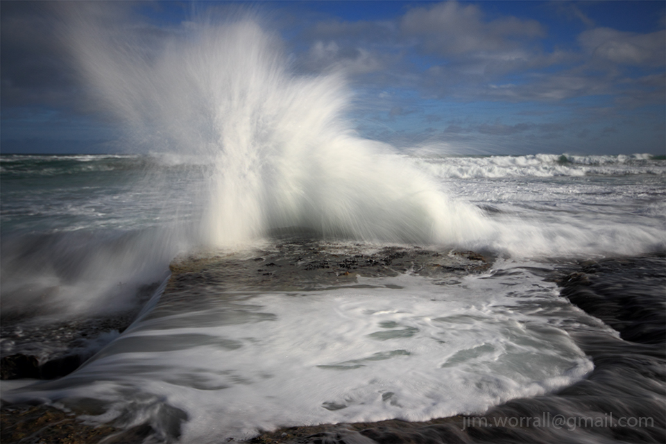

A couple of images from last weekend’s excursion to the Alfred Nicholas Memorial Gardens in Sherbrooke.


After the recent group excursion to Montforts beach I decided to revisit the place at high tide. The aim was to catch the three feature rock formations and also the “Bunny Rock” with a bit more water around their bases.
If you’re interested in visiting these fine rock formations park your car at the end of Spraypoint Road in Blairgowrie and take the short walk to the beach.
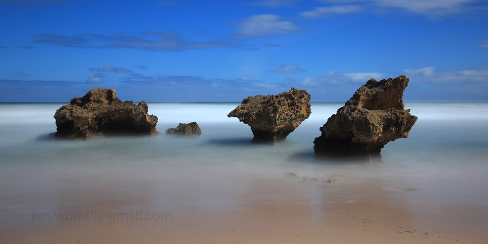

Below – Just for fun a 13 second long exposure selfie taken at Montforts beach. 🙂

An image from Sorrento back beach on the Mornington Peninsula.

Some images from an early morning photography group excursion to Montforts beach in Blairgowrie on the Mornington Peninsula.
The image below is available to purchase as a print here.

The image below is available to purchase as a print here.

Below – Here Comes the Sun. Clouds ignite briefly just before the sun rises above the horizon at Montforts beach, Blairgowrie.

Below – Up Before the Day. The togs position themselves in the cool pre-dawn light.

Below – The Wetting of the Footsies. The togs scramble as they’re caught by an unexpected foot soaking. 🙂 All good fun.

A 155 second exposure of the SS Speke shipwreck at Kitty Miller Bay on Phillip Island. The image was taken during daylight using ND400 and ND8 filters stacked together to give about 12 stops of darkness.

You can see more long exposure images of the SS Speke shipwreck here.
A collection of images from Number Sixteen (16) beach at Rye, on Victoria’s Mornington Peninsula.
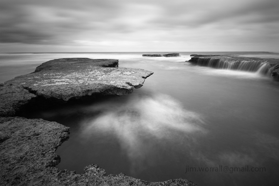


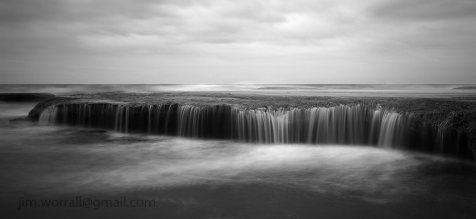
Pictured below, a couple of images taken close to the action.


Some long exposure images from Cape Schanck on Victoria’s Mornington Peninsula.


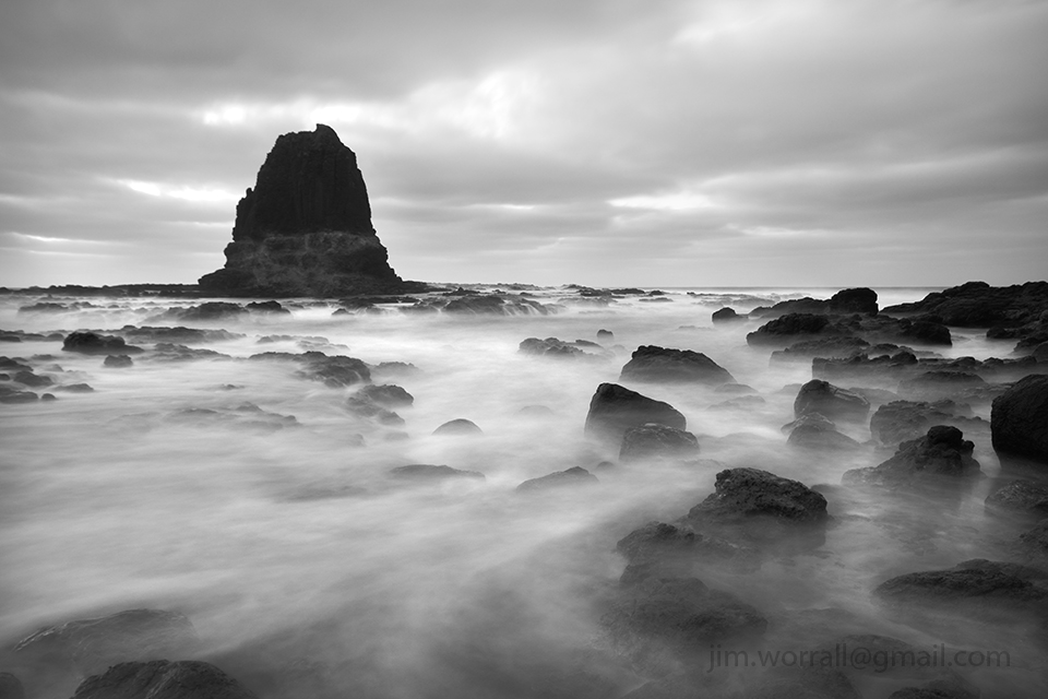
Pictured below, long exposure images of Bass Strait waves crashing onto the rugged coastline at Cape Woolamai on Phillip Island.


Below is a series of long exposure images taken during a photography group excursion to the Bay of Islands at Sorrento. Conditions were ideal for those of us wanting to take long exposures.
It was great to see a few of the participants willing to get their feet wet to catch some good shots. 🙂
Below – 30 secs f/9

Below – 8secs f/9

Below – 15 secs f/9
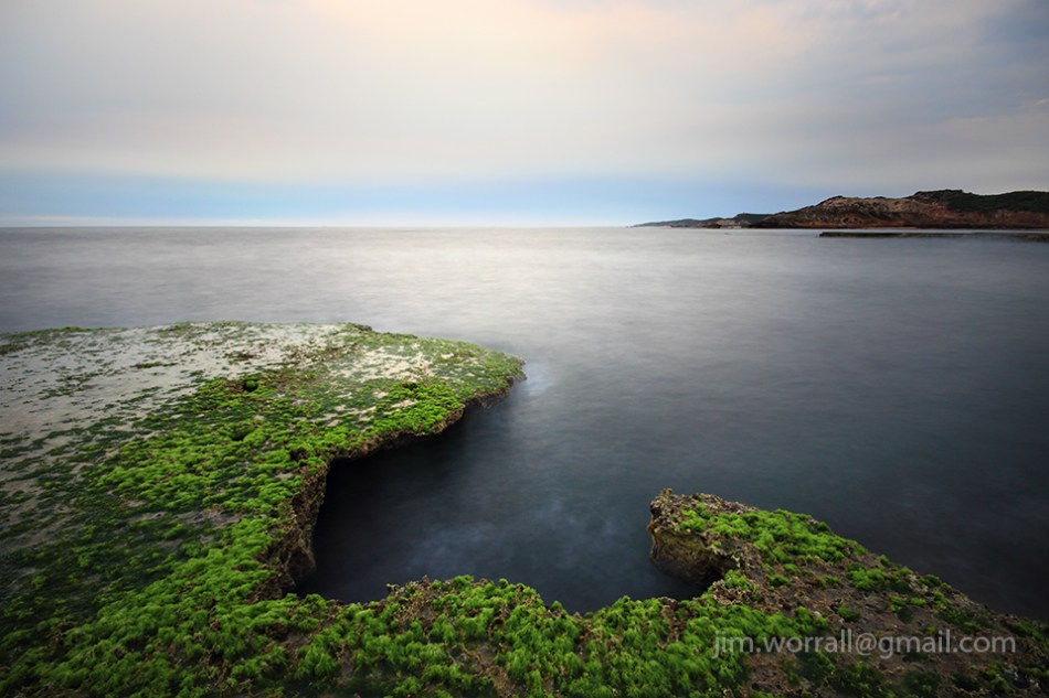
Below – 13 secs f/7.1

Pictured below, some of the excursion group members setting up in anticipation of a colourful sunrise that never really eventuated.

Following are a couple of long exposure images of the SS Speke shipwreck at Kitty Miller Bay on Phillip Island.
The first image was captured using an ND400 and two ND8 filters stacked together to achieve an exposure time of 195 seconds on a bright afternoon. Such a long exposure allows blurring of both the ocean waves and the moving clouds.
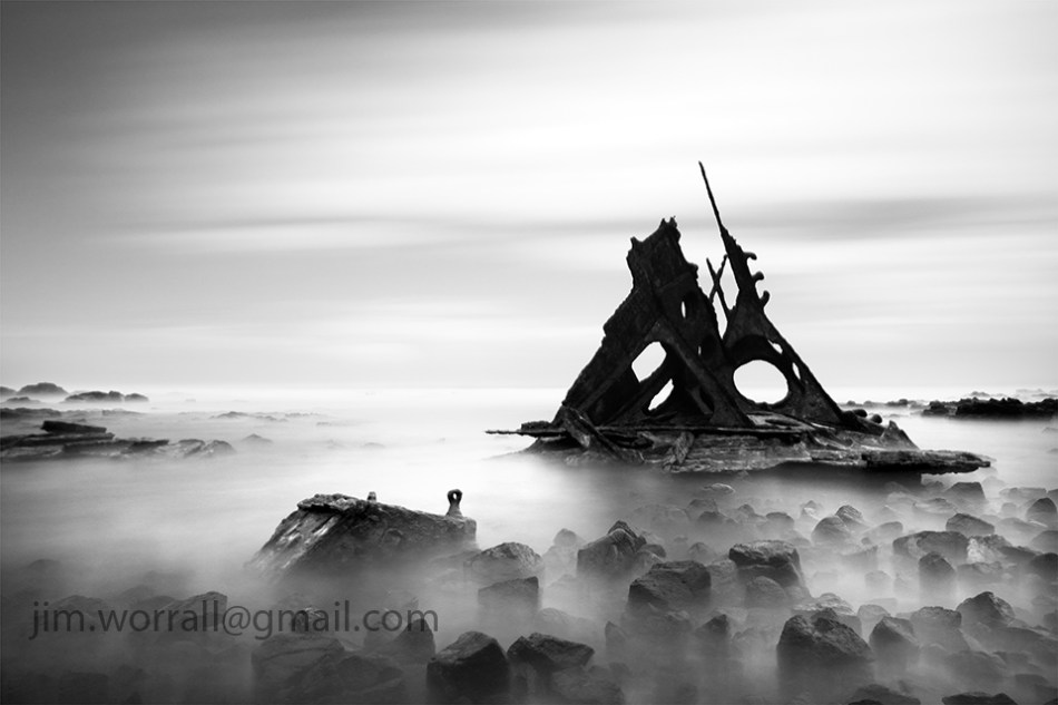
The image below is a 13 second exposure. This shorter exposure allows misting of the waves but leaves the moving clouds only slightly blurred.

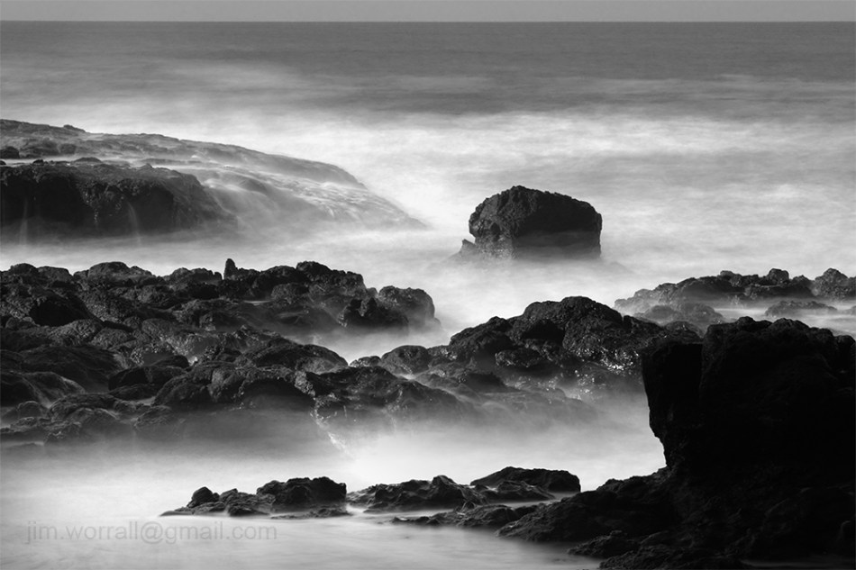
Pictured below, a 10 second exposure of surf washing over the dark rocks at Kitty Miller Bay.

Below, a 2.5 second exposure of waves crashing onto the beach at Kitty Miller Bay.
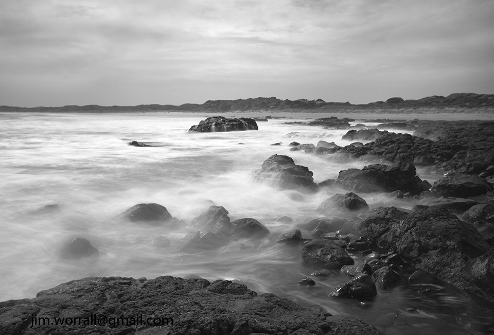
Finally, a 0.8 second exposure of a large wave slamming into a rock on Kitty Miller beach.

If you’re new to long exposure photography using dark ND filters then you might like to check out this page for some tips to get you started.
Shack Bay and Eagles Nest are part of the Bunurong Marine Park located between Cape Paterson and Inverloch. Access to the beach is via stairs from the cliff tops.
Pictured below – A long exposure image from Shack Bay with the Eagles Nest rock formation in the background.
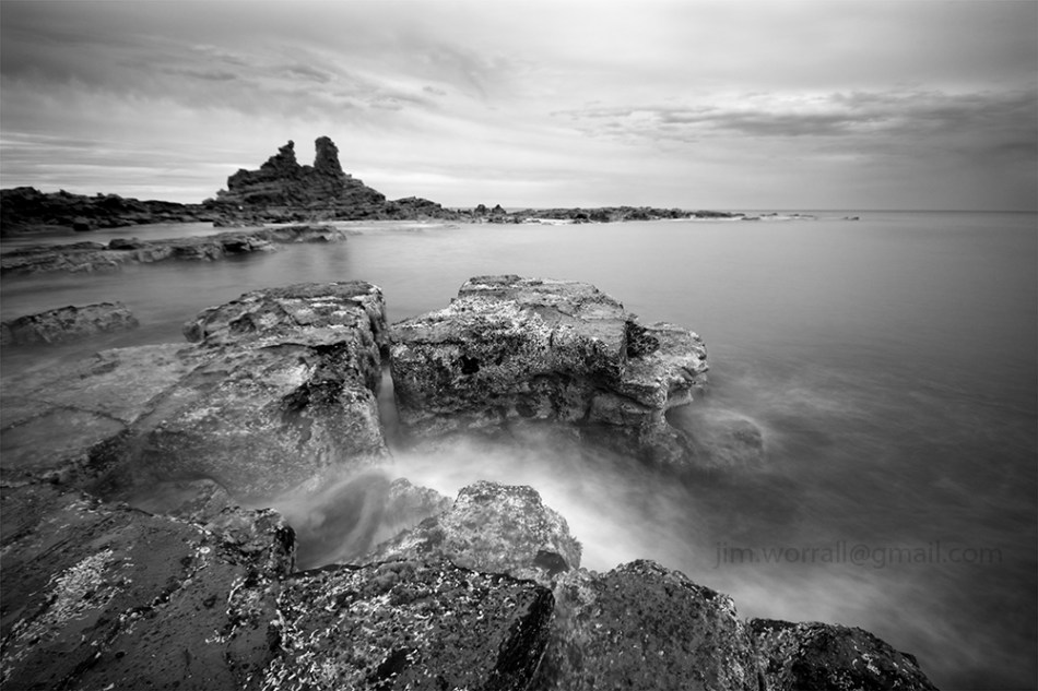
Pictured below – The view from the end of Eagles Nest looking out to sea.

Pictured below – Shack Bay looking back towards Eagles Nest.

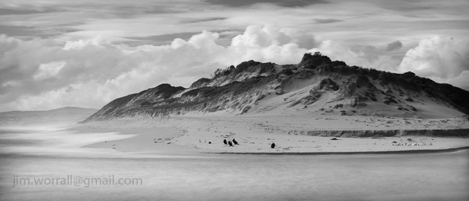
Cormorants and gulls resting at the base of huge sand dunes at the mouth of the Powlett River.
Following are some long exposure images from the picturesque beaches of the Bunurong Marine National Park.
The park is located between Cape Paterson and Inverloch. There’s easy access to the beaches via stairs from the cliff tops. Some might say that the access is only easy in one direction, ….the downward direction. 🙂

Pictured above – Eagles Nest as viewed from the rocky platforms to the west of the formation.

Pictured above – The view from Shacks Bay looking east towards the Eagles Nest rock formation.
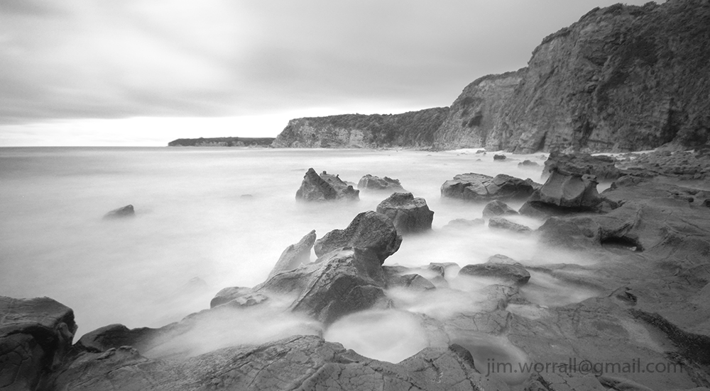
Pictured above – The view from Eagles Nest looking back towards Shack Bay.
A one second exposure of cormorants drying themselves after fishing at the mouth of Powlett River.

Following are some images from the beach at the end of St Pauls Rd, Sorrento on the Mornington Peninsula.
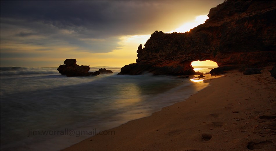


Following are some long exposure images from Bushrangers Bay on the Mornington Peninsula.
The bay is accessible via a scenic walking track that begins at the Cape Schanck lighthouse carpark. Allow about an hour each way for the walk and make sure you carry some drinking water. There’s also an alternate walking track that goes from Boneo Road to Bushrangers Bay. Both tracks are about the same length.


Images from the beautiful Pyramid Rock on the rugged south coast of Phillip Island, Australia.
You can reach the Pyramid Rock car park by driving to the southern end of Pyramid Rock Road which is located just west of the Grand Prix racing circuit.
It’s just a short walk along an elevated wooden path from the car park to the viewing platform. Yes,very civilized. 🙂

Below – Basalt Beach.
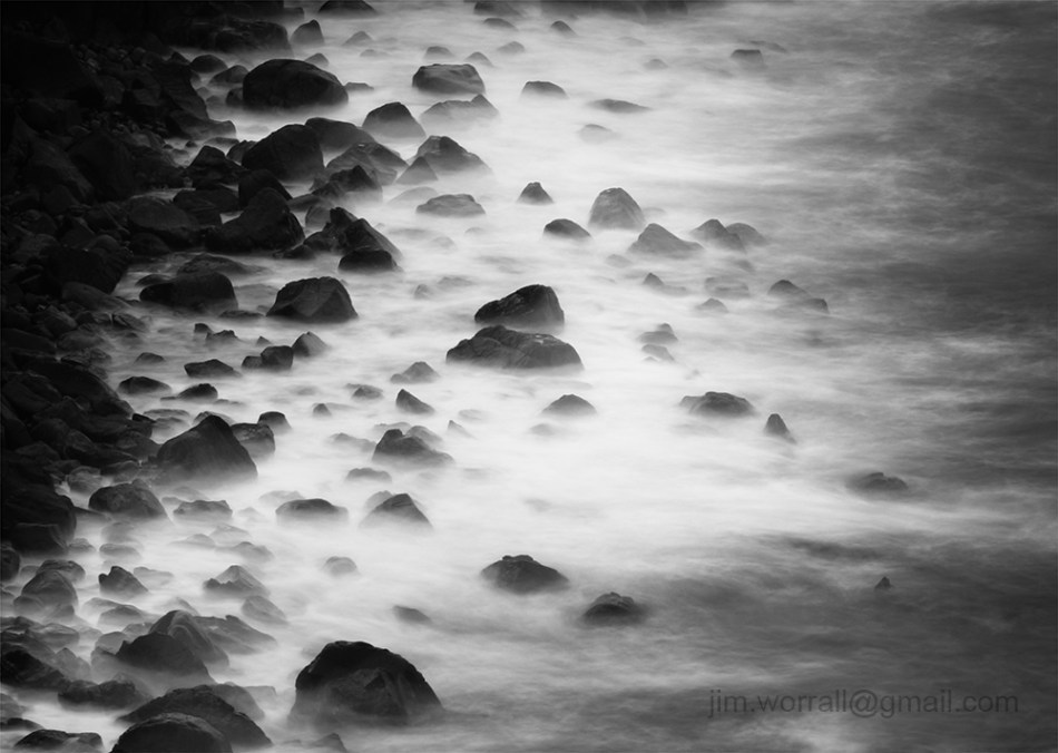
A long exposure image of waves crashing on the the dark basalt rocks on the beach near Pyramid Rock.
Below – This is my friend “Wally”. He was following me around the cliff tops at the beach.
He was curious yet still cautious enough to keep a safe distance between us.

Some images from the beautiful and rugged ocean coastline at Flinders, Victoria, Australia. To find the entrance to Tea Tree Creek beach set up your GPS to locate the intersection of Keys Road and Boneo Road, Flinders. That will put you right near it.

Below – An image of my friend John Nabben, positioning himself for his next shot amongst the rock pools at Tea Tree Creek beach.

Below – A wave exploding up against a rock at Tea Tree Creek beach.

Below are a couple of images from Bridgewater Bay in Blairgowrie, on the Mornington Peninsula. This crepuscular ray sunset appeared for maybe a couple of minutes before disappearing behind thick cloud.

Pictured below – A long exposure image of the locally famous rock formation in Bridgewater Bay.

To visit Bridgewater Bay drive to the car park at the end of St Johns Wood Rd in Blairgowrie. It’s a short walk from the car park to the beach.

Above – A long exposure image of the iconic rock at Sorrento back beach.
Being well elevated and surrounded by rough water, the rock is a haven for large sea birds. You can visit the rock and it’s popular surrounding bay by driving to the end of Ocean Beach Road in Sorrento.

Pictured below, a long exposure image from the Bay of Islands on the back beaches of Sorrento. Access to the Bay of Islands is via Diamond Bay Road, Sorrento. There’s a small car park at the of the road. On arrival at the car park take the walking track to Diamond Bay and branch left at the Bay of Islands sign. It’s an easy short walk to the viewing platform.
Access to the beach is discouraged by Parks Victoria due to erosion on the beach, hence a short climb down is required from the viewing platform if you want a view from sea level.
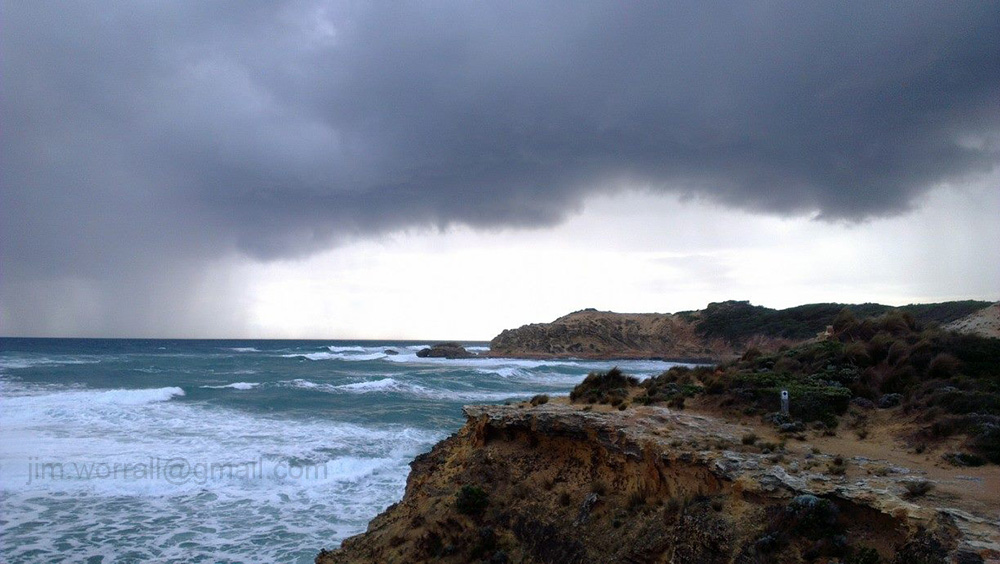
Pictured below – A phone camera shot of a storm brewing over Diamond Bay as viewed from near the viewing platform.

Pictured below – A phone camera shot of the rain rapidly approaching my vantage point. The rain caught up with me before I could make it back to the car. 😦
Using the ND400 filter to obtain a ten second exposure during the afternoon at Coronet Bay, Victoria, Australia.